Vector Map Drawing
- Price Starts from $20 Per Design
- 12 Hours Fastest Delivery
- 100% Money-Back Guarantee
- Manual Vector Drawing
- Secure & Reliable Design Service Provider
- 10 Years in Vector Drawing
- Pro Artists Drawing Vector Map
- Get High-Resolution File
- PayPal, Master/Visa Card Accepted
5K+ Clients from famous brands to small business trust Vector Design US, Inc.


How We Work
Request a Quote
Send us your image(s) and we’ll send you a quote within minutes.
Make payment
Approve your quote by making payment through PayPal.
Production
Get hand-drawn stunning artworks according to your guidelines.
Ready to go!
Leverage the unique & exclusive artwork that impress
Vector Map Drawing
Like other vector drawing services, Map drawing in vector is also a good way to visually represent a world, continents, islands, to show location and boundaries of countries, cities and areas. If you are doing your vector map drawing program, those maps are going to be scalable. Compared to a bitmap-based program like Photoshop, a vector-based program is way better-suited to drawing and editing maps. For instance, you’ll use completely different line designs for various things, amendment line widths and colors on the fly, and build changes to line placement a lot of exactly. All of this is often far more troublesome employing a bitmap-based program.
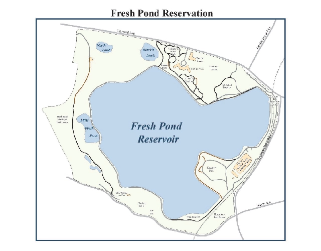
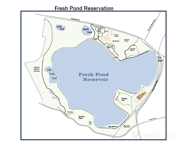
Types of Map Drawing:
There are lots of types of map. These categories serve different purposes. Though firstly maps are depicted on papers or cloths, but now a days, maps are digitally converted into vector images because of its huge advantages. Anyway, let’s have a look at the categories of map drawing.

Climatic Map Drawing
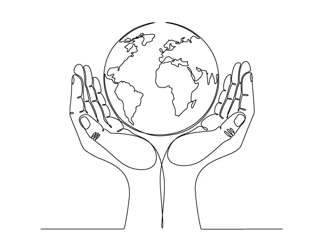
Usually climatic maps are drawn for showing temperature, snow, humidity, weather, ratio of rainfall, etc. of any area or country. It is drawn based on the average weather of 30-40 years of an area. To mark the difference, various colors are used while depicting the map. Such a map helps much to understand the climate visually of a country or region. This type of map is necessary for those who work with weather and climate. Climatic vector map drawing can produce high quality maps for the surveyors.
Geologic Map Drawing
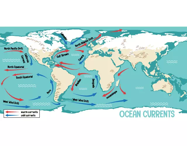
This type of geological map drawing serves special purposes. It is mainly made to show geological features such as the position of rocks, hill, plain land, faults, folds, lineation and foliations. These maps usually look like 3 dimensional enriched with geological information. To visualize various levels of natural geological elements, different colors and symbols are used. Geological map is very useful for surveyors and geologists. If they use vector geological map drawing, they can zoom at any range for having clear concept.
Political Map Drawing
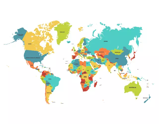
A political map entirely shows only the national and international boundaries of a country or state. It does not show the topographic elements like rivers, mountains, etc. This type of maps contains various symbols necessary to indicate the political area of a country and the maps help to maintain the sovereignty of a country. It also indicates the national boundaries inside the country and helps to rule the state or region. However, this map must be highly qualified. So, here also political vector drawing can be a great solution.
Physical Map Drawing
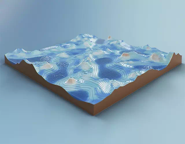
Physical map is the representation of the earth, including mountains, plain land, rivers, seas, forests, etc. The seas and rivers get blue color, brown color for mountain, green shows plain land and forests. There may have various types of symbols and other indicators to vivify map’s elements. Physical map drawing in vector can produce this type of maps providing all the desired advantages.
Resource Map Drawing
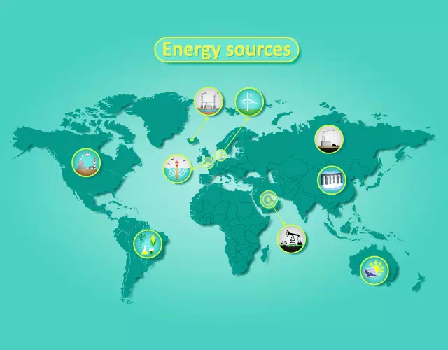
Vector resource map drawing can be of two types. One is the resource of a website or digital resource and the other is the under soil natural resources like soil, gas, coal, and other mines. Digital maps are drawn by codes which is not our concern, but the map drawing of natural resources is our job. We provide max quality vector resource map drawing for the possible presentation of the natural assets of a state or country. This type of mapping is incredibly useful for the land or under earth surveyors.
Star Map Drawing
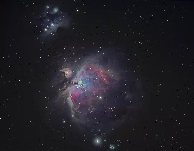
A star map is also known as sky map. This type of map is used by the astronomers. They divide the map into various grids for using facility. In ancient time, such a map helps people to navigate from one part of the world to another part. A star map contains the position of astronomical objects like stars, constellations, and galaxies. This map usually has to be of high end qualified visually. Earlier, these maps are drawn by hand, but in modern times, star vector map drawing has been a great solution regarding visual quality.
Street Map Drawing
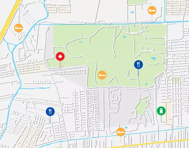
Usually a street map indicates roads and transport links between state to state, country to country. It is also a navigational map without topographical information. This type of map includes political boundaries, and also often, includes points of interest such as prominent businesses, buildings, tourism spots, school, college, university, parks, embassies, hotels, restaurants, airports, seaports, and many more. It is a mirror of the total road communication system of a country. These maps usually become very vivid and qualified. At the present time, vector street map drawing can produce HD quality street map for navigation.
Thematic Map Drawing
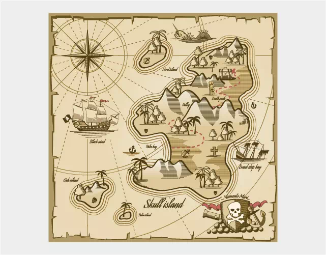
This type of map brings forth specific theme or subject area. This map points out the statistics of a region. It shows regularly the variety of phenomena. It combinedly shows the political, geological, geographical, etc. conditions. A general map portrays many things, but thematic map only shows required data based on the coastlines, national or international boundaries, etc. This type of map highlights various data such as health issues, mortality rate, birth rate, agricultural production, population, literacy, and many other things using specific color for specific data.
Topographical Map Drawing
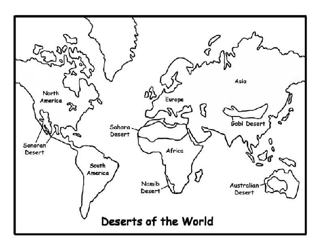
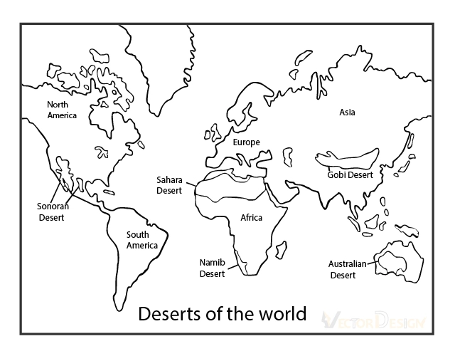
Topographical map is featured by a large scale detail. It shows natural and man-made features in details. It portrays detail ground relief, drainage, forests, administrative areas, communication routes, populated area, facilities, tourism spots, etc. Being detail and quantitative representation, this type of map is published as a map series. However, they should be of high quality and it must be vector topographical map drawing for quality.
Weather Map Drawing
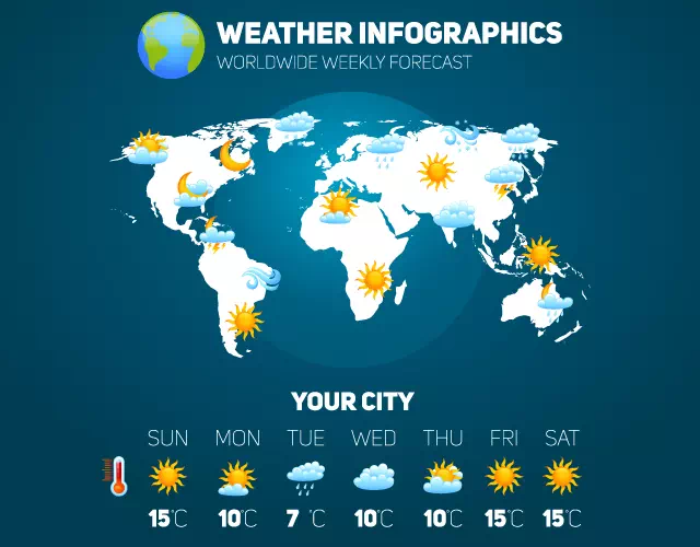
Weather map shows climate and weather report of a specific area. These maps take various icons and symbols for indicating different natural aspects. Such a map is essential for forecasting weather report. These informative maps must be highly qualified and clear. So, they should be of vector weather map drawing. The maps under vector format become versatile. They become high quality, zoom at any range, and always editable.
World Map Drawing
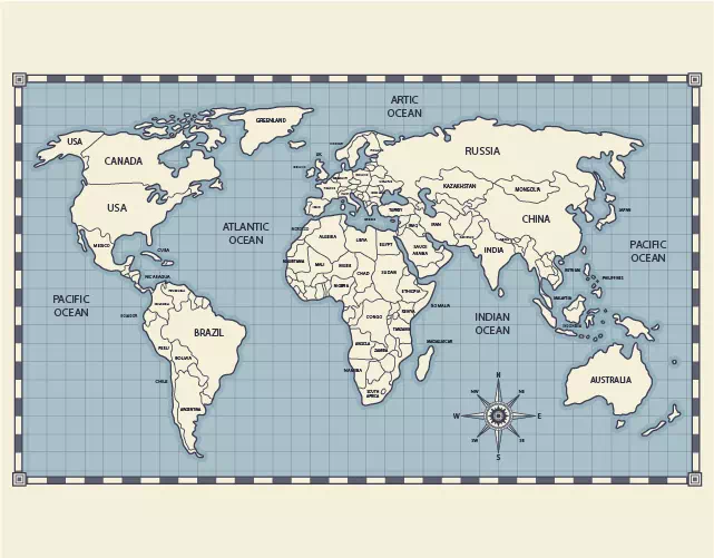
The world map is the prototype of the earth. It shows continental boundaries, political boundaries, ocean, ice area, mountains, deserts, forests, and many other places. It takes various colors like blue for ocean, white for ice area, gray for deserts, brown for mountains, green for forest and fertile area. However, world map usually becomes of various types based on different purposes. For having high end quality map, vector world map drawing service is essential.
Map Drawing Work Sample
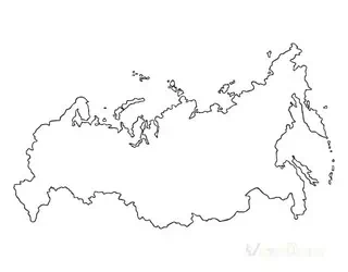
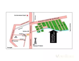
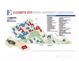
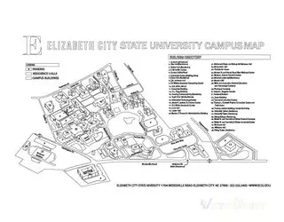
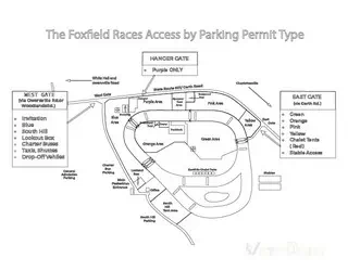
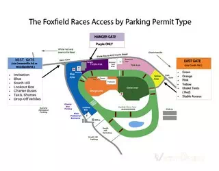
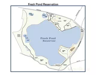
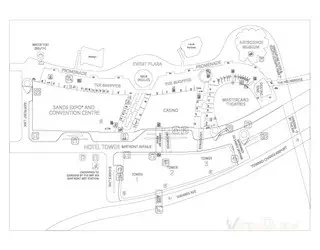
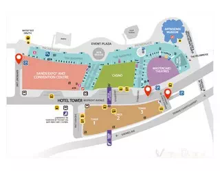
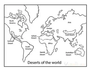
Vector Map Drawing
Our service aims to provide accurate and high-quality vector maps that can be used for various purposes such as navigation, tourism, urban planning, and more. We start our task by collecting the necessary data from various sources, such as satellite imagery, GIS databases, and survey reports. We ensure that the data we use is reliable and up-to-date, so our clients can have confidence in the accuracy of the maps we produce. Our Vector Map Drawing service also includes customization options, so clients can request specific features or elements to be added to the map.
Vector File Formats That We Provide

Ai

EPS

SVG


PNG

JPG
Looking for Vector Map Drawing?
100% Manual Vector Service
Never trust on automatic low-quality vector tracing, rather grab the high-end manual vector conversion in Illustrator.
Best Raster to Vector Conversion at Convenient Price
Get the top most raster to vector conversion services at the best prices and boost your online product sales and profits.
Within Your Deadline
Without compromising with low-quality visuals, we produce the max quality vector graphics within your tight deadline.
Benefits of Choosing Vector Design US, Inc.
- Highly Skilled Professionals
- Offering High-Quality Projects
- Trusted by Global Brands
- 100% Quality Guarantee
- Dedicated Client Support
- Easy, Fast, and Affordable
Vector Map Conversion Frequently Ask Questions (FAQ)
What is vector map drawing?
Ans: This is a particular image editing service that is provided by vector arts and illustration companies. The purpose of this service is to provide max quality vector map from raster map image because raster map images are not worth being extended at bigger sizes as they get distorted. On the other hand, the vector images never get damaged during enlarging.
Who uses map vector drawing service?
Ans: Actually, the surveyors use maps. The engineers also use various types of maps. If you like you can carry a map of your area, locality or project map with you. The maps usually very useful and they must be vivid and clear.
Why do I need map vector drawing service?
Ans: Maps are used for surveying big places for construction. It is used for identifying the right area of any place like holding place, street area, agro-lands, ponds, river area, and many more. So, the maps must be bigger in size and they should be flexible to be folded. The maps always must be of high end quality and vivid to see every point and area drawing in vector line drawing. The maps should have the capability to be enlarged in bigger sizes with getting damaged. So, to get these advantages, the maps must be drawn in vector formats, because only vector formats can ensure the above-mentioned quality and advantages.
Still have questions about how vectorization service can help your business? Feel free to send us an email:info@vectordesign.us
Get Professional Vector Map Drawing
We have helped thousands of business owners from all around the world with vectorized image needs such as a vector conversion, vector illustration, vector artwork conversion, logo conversion and much more.
What Our Clients Say About US

I run a printing company and VECTOR DESIGN has been designing several good looking t-shirts. Also convert Image to vector format for us and we can very easily use for printing. They efforts elevated the quality of our printing exponentially. Plus, they had no trouble meeting our deadlines (usually delivering early!). Their rates are very reasonable despite our tight budget. Our clients are very happy with their design. Highly recommend, because they are stunning!


